The road from Gorkha · Central Nepal
Following the unification, Gorkha to Bhaktapur
Twenty-six years of war, from a hill kingdom west of Kathmandu to the last Malla city, can be followed today over a week of buses, climbs and slow walks.
- Era
- Shah
- From Thamel
- Begin with a long bus west
- Bring
- Good shoes, warm layer, patience for buses
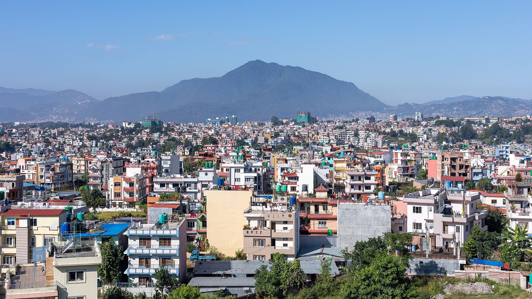
The unification of Nepal is usually told as a list of dates. It is better understood as a journey across ground you can still travel: from a hill palace above Gorkha, east along the Trishuli River, up to a fort above the road to Tibet, round the rim of the Kathmandu Valley, and finally into the three royal cities of the Newars. The campaign of Prithvi Narayan Shah took from 1743 to 1769. Following it today takes a week or more, by bus and on foot, and it changes the way you see the valley.
This guide sets out the route in the order of events. Each stop has its own page; here the aim is to connect them and to keep the history even-handed. For the hill kingdom it was a story of ambition and endurance. For the Newar cities it was a conquest that ended their own kings.
Gorkha, 1743
Gorkha was one of many small kingdoms in the hills of central Nepal in the early eighteenth century, ruled by the Shah dynasty from a palace on a ridge above the town. Prithvi Narayan Shah was born there in 1723 and became king in 1743, at about the age of twenty. He had already seen the wealth of the Kathmandu Valley, with its trade, its temples and its rich farmland, and its weakness: three rival Malla kings in Kathmandu, Patan and Bhaktapur who often fought each other.
Start your own journey at Gorkha Durbar. Climb the long stair to the palace in the early morning, look east towards the hills that hide the valley, and visit the museum in the bazaar below. From here the young king planned his first move.
Gorkha's people were mostly farmers and soldiers, and its kings relied on the loyalty of a handful of noble families whose men led the army and advised the court. Those families, and the commanders they produced, were as much a part of the campaign as the king himself, and their rivalries would shape Nepal's politics for a century after it.
Nuwakot and the Trishuli, 1744
The first target was Nuwakot, a fort on a ridge above the Trishuli River, held by the kingdom of Kathmandu. It controlled one of the main routes between the valley and Tibet, and with it the trade on which the valley's wealth depended. A first attempt failed, but in 1744 Gorkha took the fort. It became the king's forward base for the next two decades.
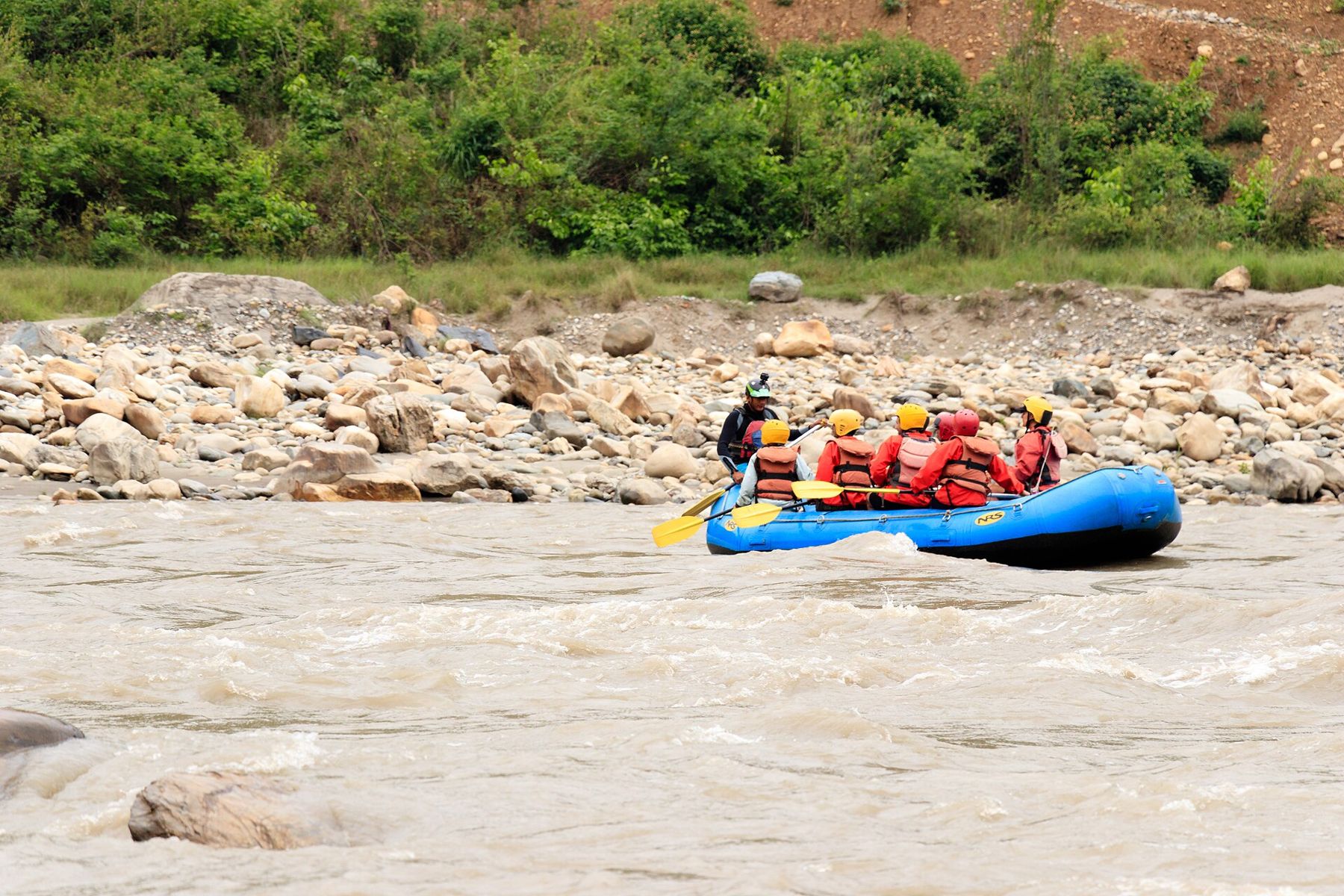
Today the road east from Gorkha follows the Trishuli for a long stretch before a branch climbs north to Trishuli Bazaar and the ridge of Nuwakot. The river is broad and fast here, and the valley sides are steep; you can see why armies and traders kept to the same narrow routes. At Nuwakot, the seven-storey palace built after the conquest still stands over the valley, repaired after the 2015 earthquake. Stay a night if you can, and walk down to the fields to look back up at the fort.
The blockade of the valley
Prithvi Narayan Shah did not attack the valley head on. Over the following years his forces took the forts and hill towns around its rim, one after another, and closed the passes that carried trade in and out. Salt, cotton and other goods became scarce in the cities. The valley kingdoms tried to break the ring, sometimes with outside help: in 1763 troops sent from Bengal were defeated near Makwanpur, and in 1767 an expedition of the East India Company, sent at the request of the king of Kathmandu, was turned back in the hills south of the valley.
You can sense the strategy from any viewpoint on the valley rim. Stand on a hill above the cities and you see how small the valley is, how closely the hills surround it, and how easily its routes could be cut. A blockade was slow, but it worked.
A blockade was slow, but it worked.Also in the valleyKalu Pande and the kajis of Gorkha
Kirtipur, 1757 to 1767
The hardest fight was for Kirtipur, a fortified town on a ridge at the south-western edge of the valley, belonging to the kingdom of Patan. In 1757 the Gorkhali army made its first assault. It was a defeat: the commander Kalu Pande was killed, and the king himself escaped with difficulty. A second attack in 1764 also failed. The Gorkhalis then besieged the town for months, cutting off its food. In 1767 Kirtipur surrendered, and the conquerors punished its men by cutting off their noses, a cruelty still remembered in the town.
Walk up through Kirtipur's lanes to the Bagh Bhairab temple, where old weapons hang on the walls, and on to the terrace at the top. From there you look across the whole valley. The story of the commanders who fought here, and of Kalu Pande in particular, is told in Kalu Pande and the kajis of Gorkha.
Kathmandu, Patan and Bhaktapur, 1768 to 1769
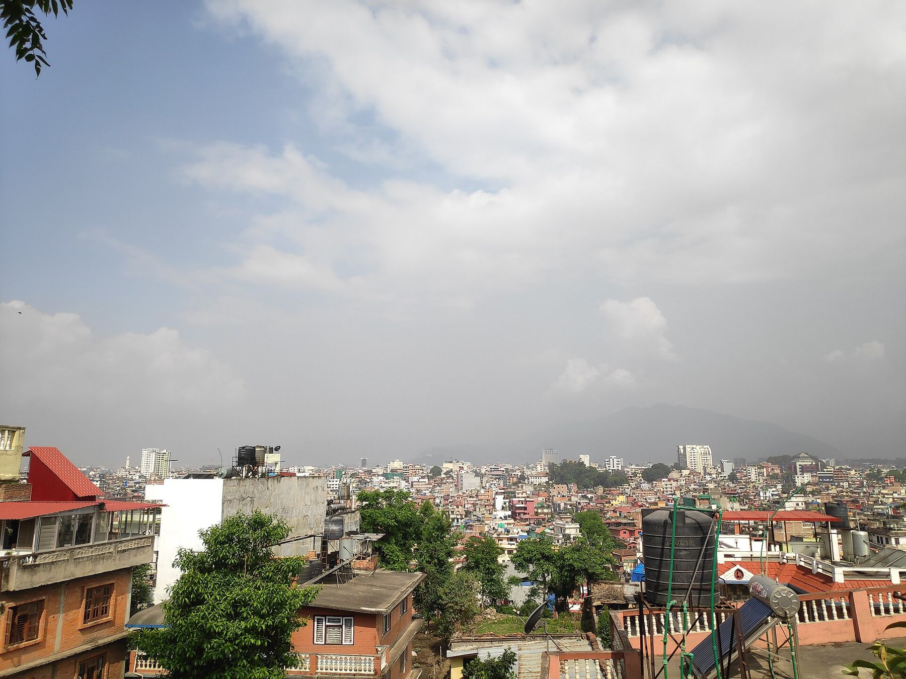
In September 1768, during the festival of Indra Jatra, Gorkhali forces entered Kathmandu. The story goes that while King Jaya Prakash Malla attended the festival, the city was taken almost without a fight, and that Prithvi Narayan Shah sat in the seat prepared for the king and received the blessing of the Kumari, the living goddess. Jaya Prakash Malla fled to Patan. Within weeks Patan too had fallen, and its king and Jaya Prakash Malla took refuge in Bhaktapur. In 1769 Bhaktapur was taken, and the last Malla king, Ranajit Malla, went into exile.
The final days of your journey belong to the three cities. Begin in Kathmandu's Durbar Square, where the Shah kings later built a tall tower to look out over the city they had taken, and if you can, come during Indra Jatra in late September. Cross to Patan and its square, then end in Bhaktapur, the last city to fall, with a night there to let the journey settle.
Travelling the route today
Buses link all the main stops, and taxis or hired cars give more freedom. A sensible order is Gorkha, then Nuwakot, then the valley: Kirtipur, Kathmandu, Patan and Bhaktapur. Allow at least one night each in Gorkha and Nuwakot, and several days in the valley. Autumn is the best season, with clear skies and dry roads; the monsoon brings landslides on the hill roads.
The Shah dynasty that began with this campaign ruled Nepal until 2008. When you stand in the squares of the valley cities, you are standing in places that were both the prizes of the conquest and the capitals of the kingdom it created. Travelling the route makes both sides of that history easier to hold in mind.
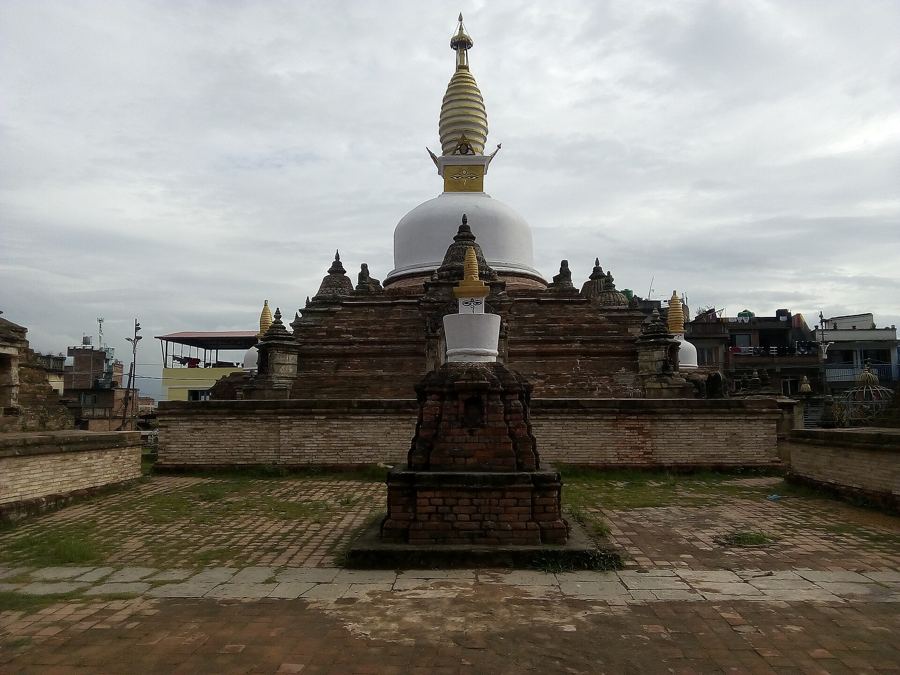 Next in the road from gorkhaKirtipur, the hill town that held out